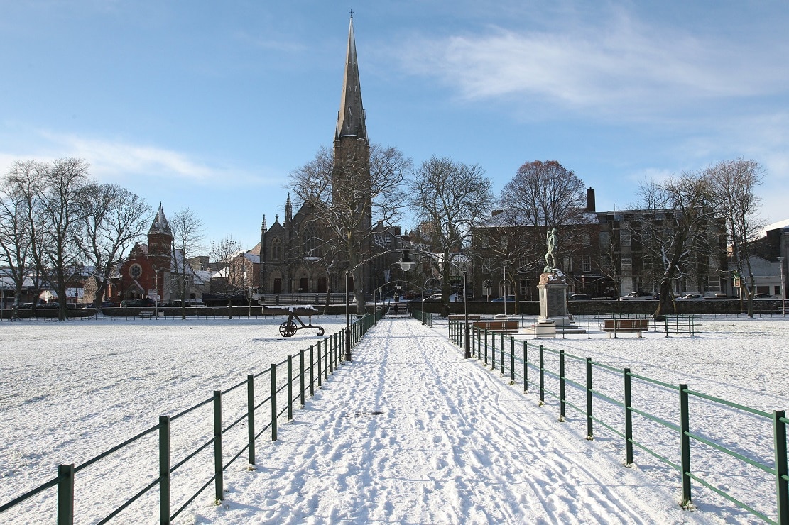
The Met Office has warned that an Arctic airmass continues to cover the UK, bringing cold conditions with snow, sleet and hail showers… likely to continue over the next few days.
Further into the week there are also signs that strong winds and heavy rain may bring additional hazards to the impactful weather across the UK.
There is some uncertainty over the position of a low pressure system which is important in understanding the potential weather hazards it may bring.
However, early indications suggest a 20% chance that Northern Ireland will be impacted by disruptive snow, wind and rain between Thursday (January 8) and Friday (January 9).
This follows on from a Yellow Warning issued for early on Monday morning (January 5).
Several schools were forced to postpone what should have been their first day of the new term due to unsafe driving conditions.
The weather warning was also extended to continue until 10am on Tuesday (January 6).
Of the new forecast, Deputy Chief Meteorologist, Mike Silverstone, explains: “While we’re confident an area of low pressure will move in from the west on Thursday and into Friday, the exact position of that low pressure is uncertain at this stage. The position is important as it will determine the type of severe weather different locations may experience.
“The most likely scenario at this stage is for low pressure to track near the south coast. Near and south of the low, heavy rain and strong winds are more likely, whilst snow could accumulate to the north as it encounters cold air.
“As confidence increases in the track of the low pressure, so will the detail of the weather impacts so it is important to stay up to date with the weather forecast through the week.”