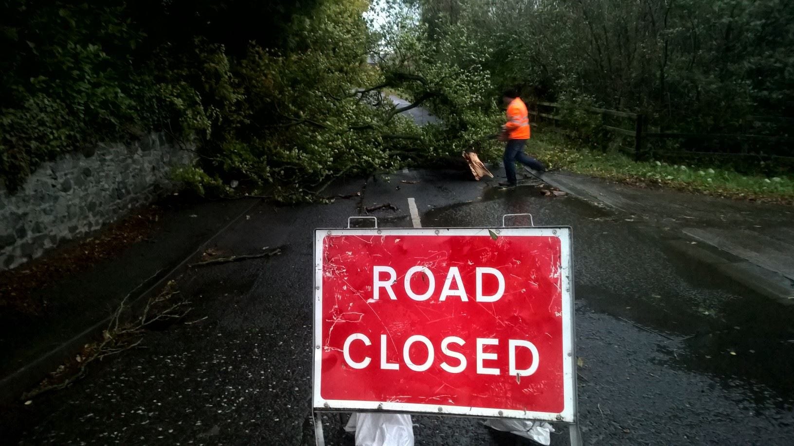
Northern Ireland Traffic Watch have released a detailed list of roads currently closed across Northern Ireland.
There are still a number of roads closed across the Armagh, Banbridge & Craigavon Borough Council and the Newry, Mourne and Down Council areas.
Fallen trees and flooding are the main causes of these road closures following Storm Ophelia on Monday.
Hundreds of homes across the county are also still without power. Check out the latest details on that, here
Here is a full list across counties Armagh and Down – in our council boroughs..
CO ARMAGH:
U8016 Old Clare Rd, Tandragee at jct with B2 Markethill Rd – closed fallen tree
Ballyknock Road, Tandragee – road closed
Dromore Road, Lurgan – road closed
Shanecracken Road, Markethill
CO DOWN:
Ballynahinch Road out of Dromore, junction with Rock Road, multiple trees down. Road closed.
A25 Strangford Road, Downpatrick at Cricket Club – road closed
A25 Strangford Road, Downpatrick – closed at access to Quoile Centre due to fallen tree.
Ballyward Road, Castlewellan – road closed
Kiln Lane, Banbridge – road closed
Burrenbridge Road, Castlewellan – road closed
Carrags Road, Newcastle – road closed
Bryansford Road, Newcastle – road closed
B2 Lurgan Road, Dromore – road closed
C278 Loughinisland Road – road partially closed
Sunday Wells Road, Killyleagh – road closed
A50 Banbridge Road, Tullylish – road closed
A50 Katesbridge Road, Moneyslane – road closed
U4113 Kilmacrew Road, Banbridge – road closed
B176 Killough Road – Road closed – From Racecourse road near Grave Yard @ Kelly’s Corner
Upper Braniel Road is closed from the junction of Ballygowan Road to the junction of Middle Braniel Road due to a fallen tree.
Sheeptown Road, Newry closed – fallen tree.
Pound Road, Newry closed – fallen tree.
A26 High Road, Banbridge closed – flooding.
Mound Road, Warrenpoint closed – fallen tree.
Horner’s Lane, Rostrevor closed – fallen tree.


