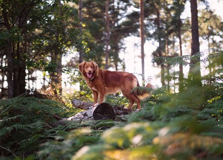
There has never been a better time get outdoors with your family or furry friends and embrace the fresh air as restrictions ease.
We’ve compiled a list of local walks within easy reach of both our ferry terminals at Greencastle and Greenore to help you get outdoors and make the most of the beautiful areas we live in.
Enjoy this family time together and please do your bit to protect your loved ones and those around you.
Cranfield Beach, Kilkeel

Park your vehicle at our Greencastle Terminal and walk along the rugged coastline all the way to Cranfield Beach. Allow the sand to get between your toes and take a paddle in the salt water, whilst you stretch your legs and walk as far as the eye can see.
Admire the Haulbowline Lighthouse, the gatekeeper to the entrance of Carlingford Lough and keep a lookout for the local wildlife including our sea dogs and a wide range of aquatic birds such as seagulls and cormorants.
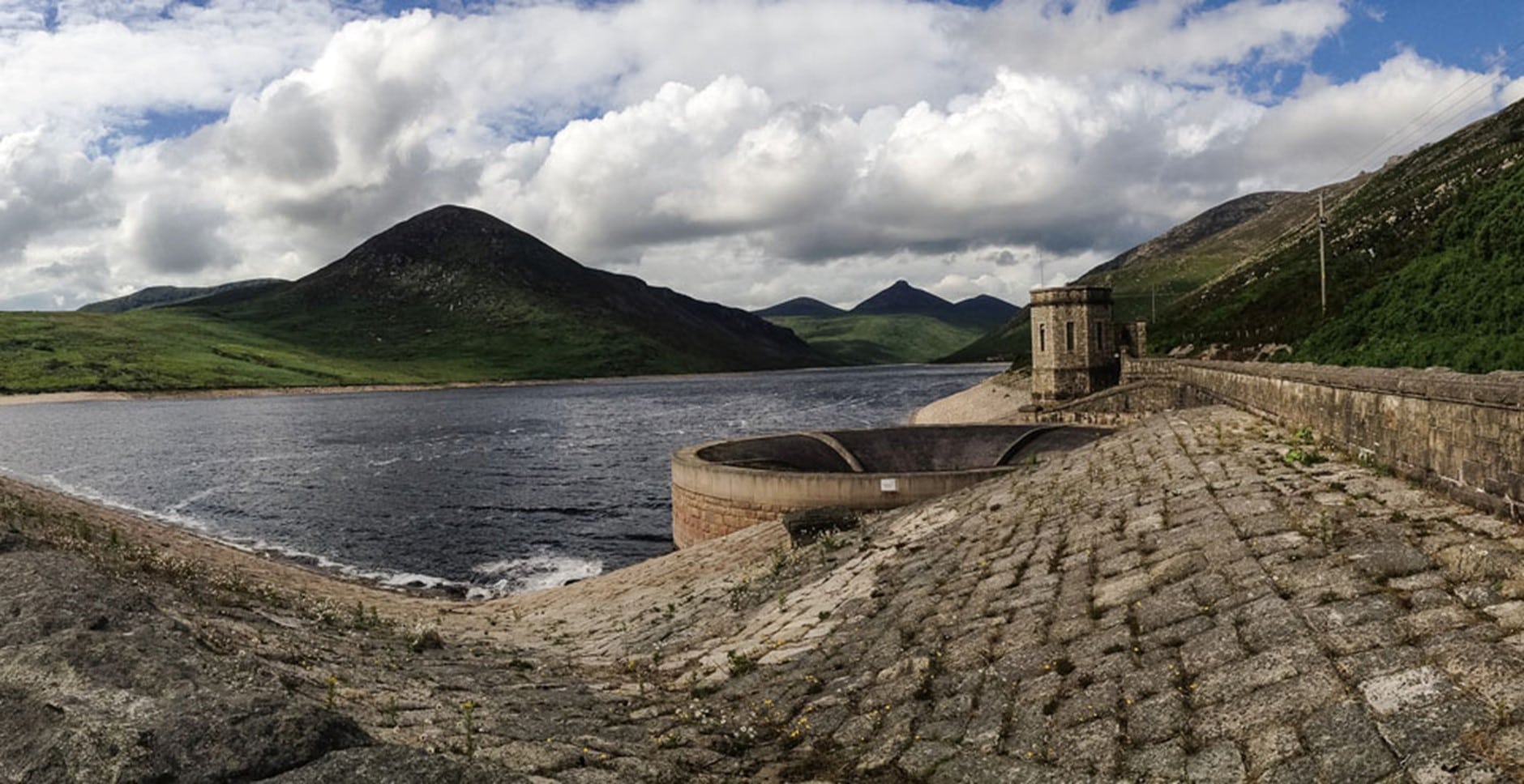
Silent Valley Mountain Park, Kilkeel

Enjoy a walk through the tranquility of the Silent Valley Mountain Park. Follow the forest trails and submerge yourself in the beauty of the forestry.
Learn about the industrial heritage, which gave rise to the magnificent Ben Crom Dam and shaped the surrounding landscapes. If you’re feeling energetic you can walk the gently sweeping tarmac road to the magnificent Ben Crom Dam, located just over 2.5 miles along the reservoir with towering mountains on either side.
The Blue Lough, Annalong

Take a walk to the Blue Lough, through the Annalong wood where you can appreciate the grandeur of the Mountains without the arduous climb. Simply park your car at Carrick little Car Park and walk up to the top of the lane where you’ll find a black gate.
Follow the path beyond the gate all the way to the Blue Lough where it’s rumoured the remains of a fighter jet lie beneath its waters. If you’re feeling up to it, you can go beyond the Blue Lough to the Crossroads between Slieve Binnian and Slieve Lamagan, which provides panoramic views over Ben Crom Reservoir.
From the car park, the walk to the Blue Lough and back is approximately 4.5 miles, whilst the route to the crossroads and back is approximately 6 miles in total. Both walks require a good pair of walking boots or at the very least a good pair of sturdy trainers as the path can become quite rocky in places.
Tollymore Forest Park, Newcastle

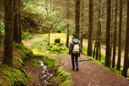
Take the opportunity to walk along the charming trails in Tollymore. There are a number of woodland and forestry walks, with something suitable for all abilities.
Enjoy the short but tranquil river walk or for those looking for a more of a challenge, why not take on the red or black walking routes, which take you onto the outside forest boundary next to the open mountain and provide scenic views over Newcastle. Information and guides on the different routes available can be found on the notice boards in the main car park.
Carlingford Omeath Greenway

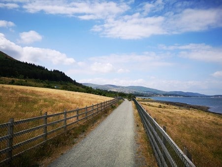
The Carlingford Omeath Greenway can be found along the shore of Carlingford Lough has been described as a hidden gem in the North Louth coastline. Approximately 10km in length, the scenic Greenway stretches between Omeath and Carlingford, running through fields full of grazing sheep and over old level crossings with a variety of wildlife, wildflowers to be seen, as well as stunning views across the lough to the Mourne Mountains.
The trail is part of the overall ‘Great Eastern Greenway’ and was named as a ‘National Trail’ in 2016. Reviewers have described it as “a great place for a bit of a walk and ideal for novice cyclists, including the wee ones.”
Slieve Foye and Cooley Mountains Unspoilt rolling countryside, beautiful seascapes and panoramas from the mountain tops in all directions, the Carlingford and Cooley Mountains offer a paradise for walkers for all abilities.
The Slieve Foye Loop is a firm favourite with walkers and directs you up into the mountains slopes above Carlingford on good solid paths.
Approximately 8km in length and suitable with those of an average fitness level, you can start the walk from outside the main Tourist Office in Carlingford. For more information and directions on the Slieve Foye Loop walk please click here.
Slieve Foye Woods

Slieve Foye woods lie at the bottom of Slieve Foye mountain and take the name from the dominant summit of the Cooley mountains.
There are two car parks in the forest with picnic areas, offering panoramic views of the Mourne mountains which are located across the lough. The main forest trail is 4km and follows part of the Tain Way, a national long distance way marked route. If you prefer a scenic drive, the driving routes in this part of Louth are widely regarded as having some of the most beautiful scenery in the country, with breath taking views of Carlingford bay and the Mourne mountains, from the upper car park.
To get to the forest, take the R173 northeast from Carlingford towards Omeath and Newry. After about 3.5 km you will find the forest entrance on your left hand side.
Ravensdale Forest Park
There are three way marked trails in Ravensdale Forest which is located in the wooded demesne of the former Lord Clermont’s estate, just 20 minutes from our Greenore ferry terminal.
You can enjoy a walk along the Tain Trail, the Ring of Gullion and the shorter 1.5km Ravensdale Loop trail. The site is mixed woodland rising steeply to the summit of Black Mountain (506m) with many kilometres of forest tracks and roads, it is well worth a visit for a picnic and to admire the beautiful trees, wild flora and archaeological features, such as the standing stones, bridges and old driving roads. You can access the Tain Way or Ring of Gullion way marked routes from the forest.
Let Carlingford Lough Ferry take you on your next voyage of discovery. Keep up to date with the latest information on our operating hours and sailing status by following us on Facebook and Twitter and book online at www.carlingfordferry.com and save 10%.


