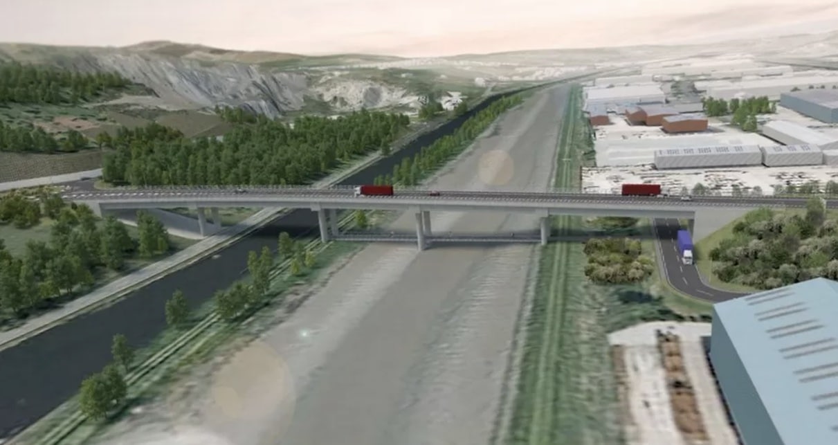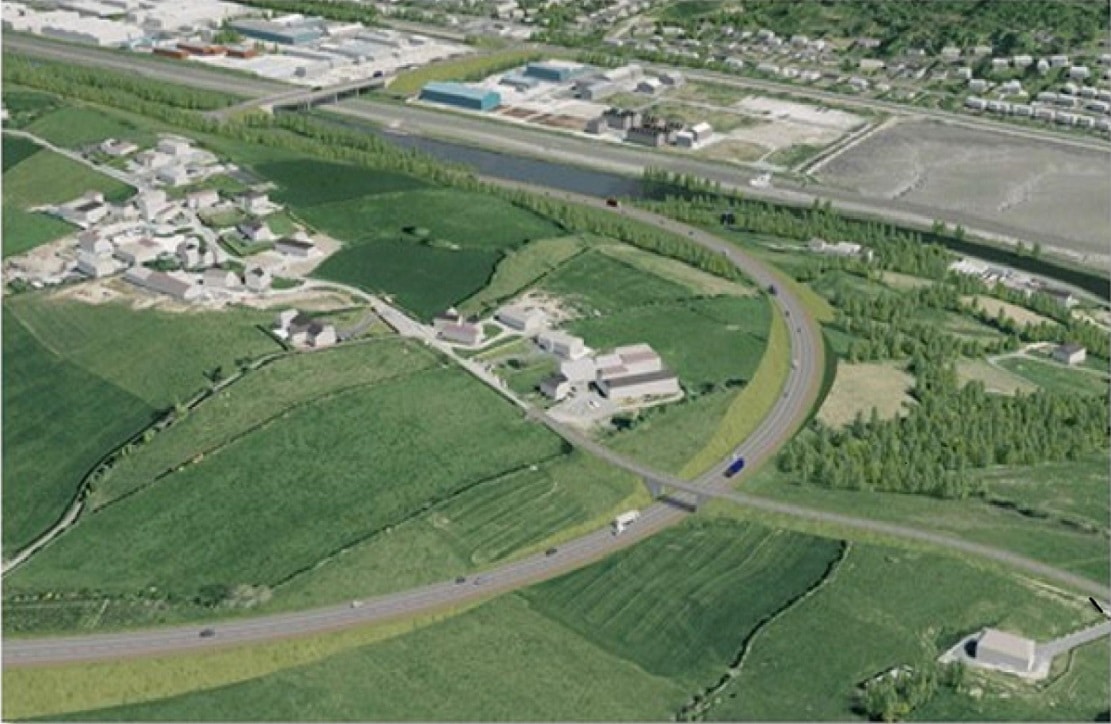
A non-opening 50-metre fixed bridge has been adopted as the Department for Infrastructure’s preferred option for Newry Ship Canal, which will form part of the Newry Southern Relief Road (NSRR).
The proposed new bridge will provide clearance for vessels under 12 metres in height and provide those vessels with access to the Albert Basin area of Newry.
There had been a campaign locally to allow the bridge to open for taller ships to pass through.
The Department will now proceed with the preparation of the Environmental Impact Assessment Report and associated consultation based on a fixed bridge.
In the absence of a Minister, the Permanent Secretary for the Department has made the decision under the Northern Ireland (Executive Formation etc) Act 2022. The decision has been taken after detailed consideration of a range of factors, including engineering, economic, heritage impact and environmental assessments.
Careful consideration has also been given to whether it is in the public interest to take a decision at this stage.

The decision has been taken on the basis of poor value for money associated with an opening bridge option, the fact that scheme will be subject to further public consultation as well as the negative financial and economic impacts associated with project delays.
The NSRR is being developed to provide a strategic link between the A1/N1 Belfast to Dublin corridor and the A2 Warrenpoint Road, bypassing Newry City Centre.
It is one of the three infrastructure projects being taken forward by the Department within the Belfast Region City Deal, which has allocated £93.4m to the project.
Read more: Four projects set to transform Newry, Mourne and Down over the next decade


